Find out why leading global institutions turn to Climate Central's GIS Layers for their flood data and elevation modeling.
Access the most accurate elevation modeling possible
Completely customize your data by emission scenario, year, projection type, and more.
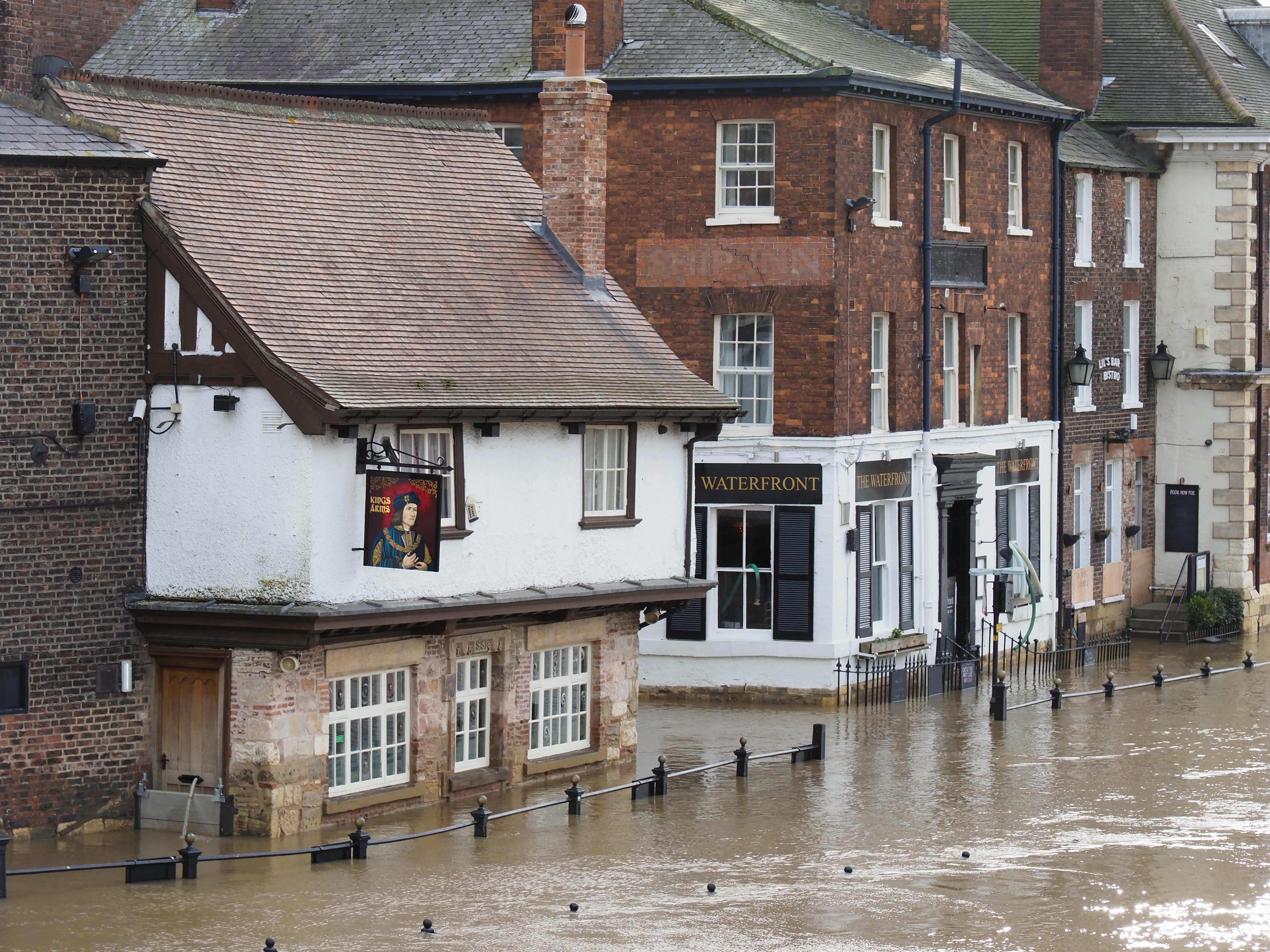
Precisely predict flood risk for your community
Learn why our GIS Layers are here to help people like you.
Looking for flood data for a large number of properties? PAT allows users to receive a comprehensive analysis of the risk of flooding to tens of thousands of structures.
Using LIDAR technology and AI-based algorithms, we've developed the flood visualization of your dreams.
Utilizing the most precise data available on the market today, CoastalDEM® helps you understand flood risk and sea level rise worldwide.
Our tools, our community, and how we can help you.
Make understanding flood risk simple.
Are easily combinable with your own data for a better understanding of risk
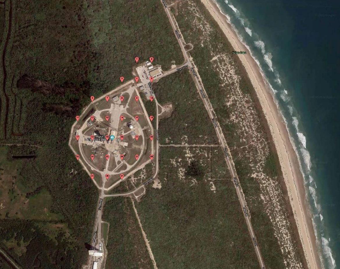
Integrate the most cutting-edge elevation data on the market
Illustrate the extent and depth of coastal flooding and sea level rise