Climate Central is a non-profit
research organization
providing authoritative, science-based information products to help public and corporate stakeholders make sound decisions about climate and energy. Hundreds of thousands have used our tools, including professionals in real estate, insurance, banking and government.
ABOUT US
Our analysts bring you top research and datasets to help you manage risk in a changing climate. We provide practical information you can use in your business, organization or community.
WHAT WE DO
CoastalDEM is Climate Central's proprietary, high-accuracy Digital Elevation Model for coastal areas. It reduces median errors in NASA's widely-used SRTM DEM to near zero, and reveals flood threats more than three times larger. Top-accuracy DEMs from airborne lidar are unavailable for most of Asia, Africa and Latin America. CoastalDEM can help you understand coastal risk in these areas and globally.
Or inquire about our Portfolio Analysis Tool, and let us quantify coastal flood risk for you.
CoastalDEM®
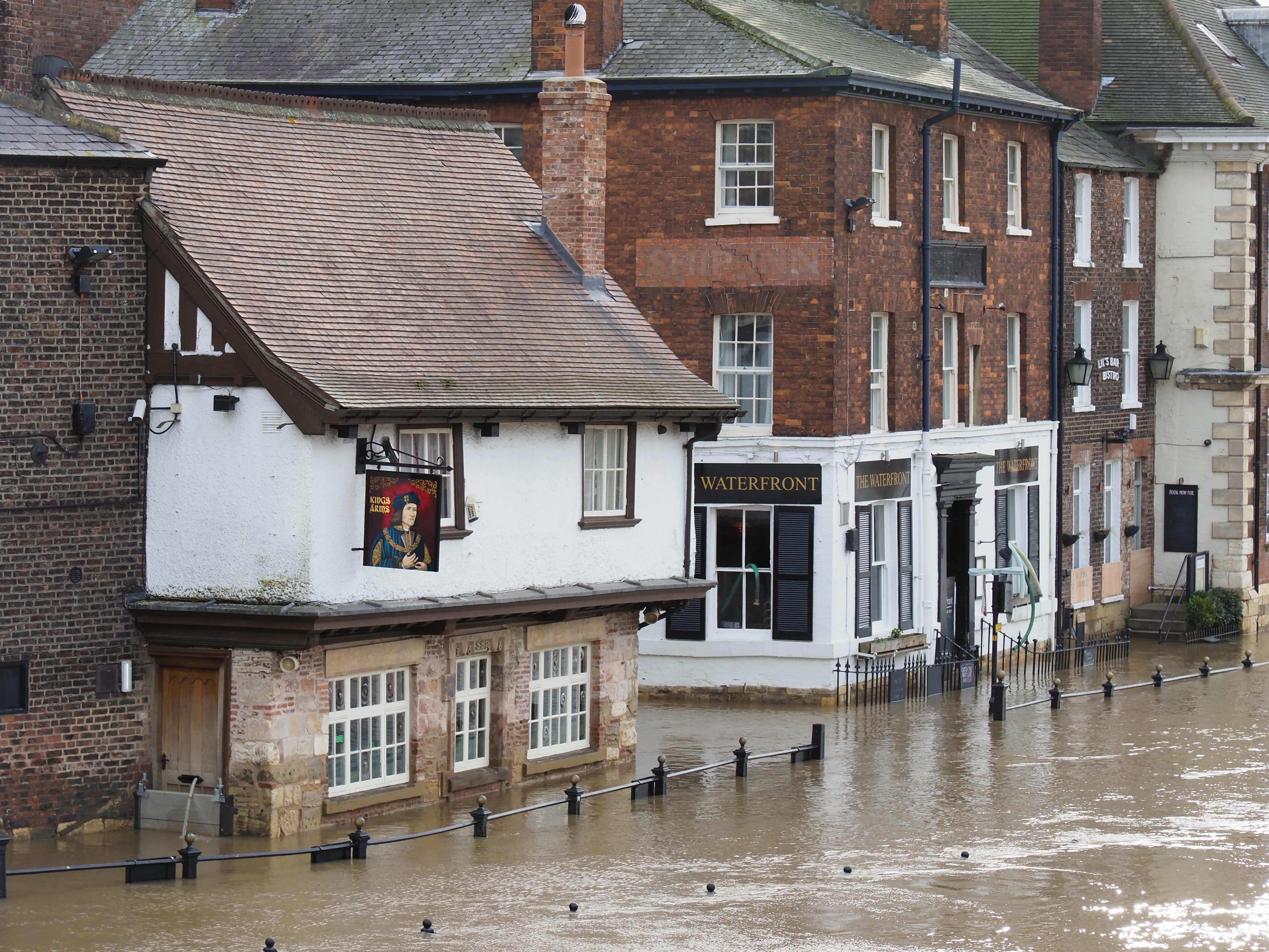
Coastal flooding is accelerating and coming to new locations. Some may be in your portfolio. Real estate values are already taking a hit – directly by flood damage and indirectly when insurance, roads and services are impacted.
Billions in real estate investments
near the coast are going to reprice.
Climate Central is a non-profit
research organization
providing authoritative, science-based information products to help public and corporate stakeholders make sound decisions about climate and energy. Hundreds of thousands have used our tools, including professionals in real estate, insurance, banking and government.
Our analysts bring you top research and datasets to help you manage risk in a changing climate. We provide practical information you can use in your business, organization or community.
2050 flood exposure* - CoastalDEM
CoastalDEM offers important improvements over the most common alternative.
CoastalDEM reveals significant increases in projected flood exposure in coastal areas as sea levels rise. Here is an example for average annual flood height near Bangkok, Thailand in 2050.
© Climate Central. All rights reserved.
as seen on
We’ve Mapped Your Future Coast
Using Our Sea Level Rise and Coastal Flood Layers
We’ve Mapped Your Future Coast
Using Our Sea Level Rise and Coastal Flood Layers
Map Your Future Coast
Sea Level Rise and Coastal Flood Layers
We combine a localized sea-level rise model, local flood history, and cutting-edge coastal digital elevation models to produce GIS layers made to your specifications.
Portfolio Analysis Tool (PAT)
Quantify Your Coastal Flood Risk
Our Portfolio Analysis Tool (PAT) quantifies coastal flood risk to real estate holdings, insured properties, critical facilities, commercial sites, infrastructure, supply chains & more.
CoastalDEM®
Better land elevation data for future flood risk assessment
Our proprietary, more accurate digital elevation model (DEM) for coastal areas. CoastalDEM consistently outperforms other widely used global DEMs.
See which properties, investments, and infrastructure will be underwater
Leading financial services firms, risk modelling and research firms, development banks, NGOs, planners, and more license Climate Central’s products to evaluate risk exposure to their assets and communities.
Sea Level Rise and
Coastal Flood Layers
Sea Level Rise Model
Pollution Scenario
Projection Type
Year
Customizable by:
*between the latitudes of 60 degrees N and 56 degrees S
Portfolio Analysis Tool (PAT)
Coastal Flood Risk Is Increasing
Flood Risk Data for Your Locations
Custom Solution To Fit Your Needs
Still unsure which is right for you?
CoastalDEM®
New v2.1 release provides even better elevation data:
*between the latitudes of 60° N and 56° S
More sophisticated neural network architecture
Additional, and higher-quality input datasets
Wider elevation range coverage
Global, country-by-country validation