Find out why leading countries, researchers, financial institutions, and insurers turn to Climate Central for high-quality data.
Access the most accurate modeling possible
Utilize a clear picture of the elevation in your coastal area
Precisely predict flood risk globally and for your community
Are you a Student or Researcher? Click here to apply for a no-cost version of Climate Central's CoastalDEM®.
Make understanding flood risk simple.
Looking for flood data for a large amount of specific properties? PAT allows users to receive a comprehensive analysis of the risk of flooding to tens of thousands of structures.
Using LIDAR technology and AI-based algorithms, we've developed the flood visualization of your dreams.
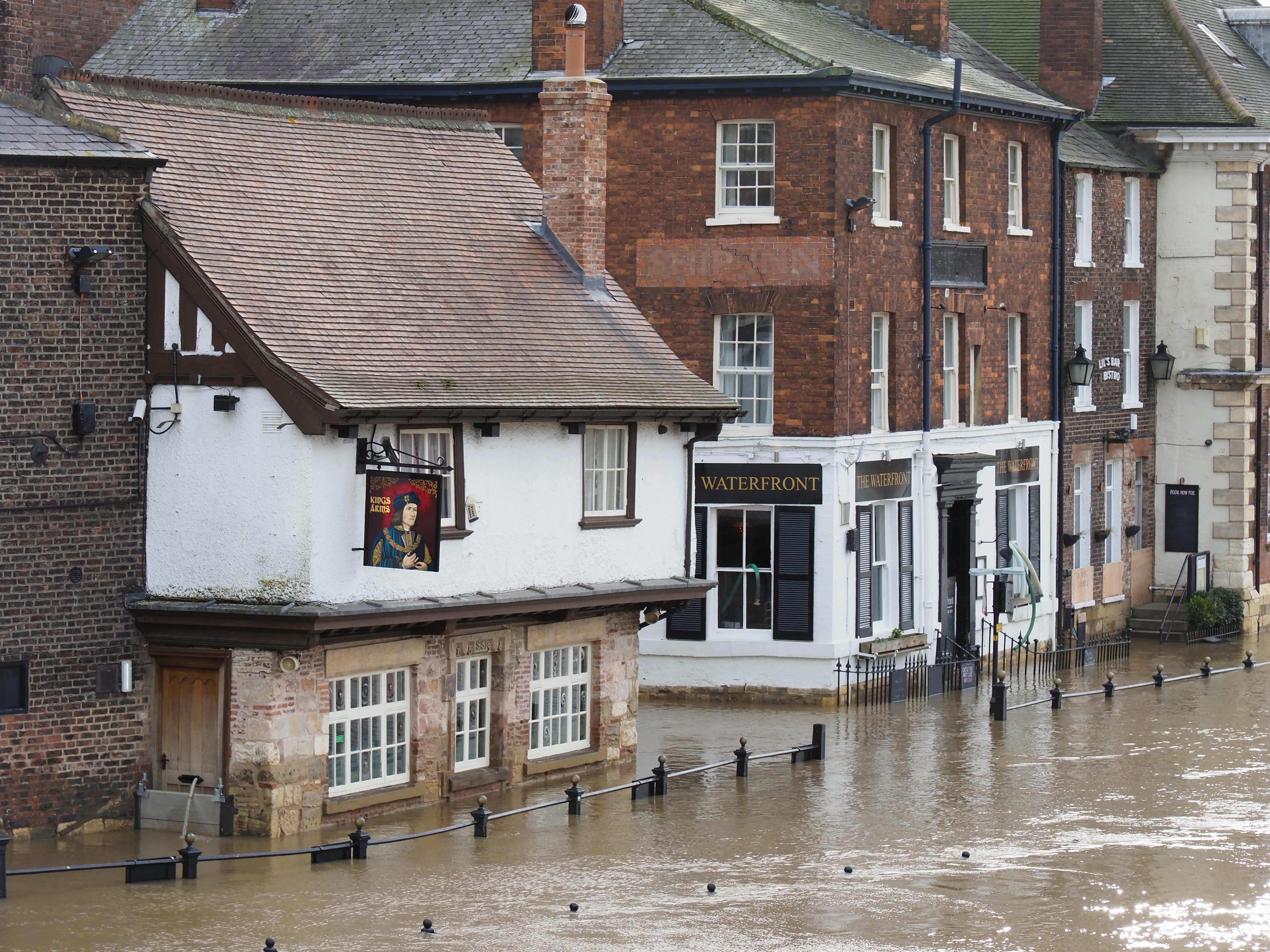
Our Sea Level Rise and Coastal Flood Layers illustrate the extent and depth of present and future coastal floods.
Our tools, our community, and how we can help you.
Reduces the errors on NASA's models to nearly zero
Is available for almost any coastal area in the world
Shows particular strength in low-lying and densely populated areas