FloodVision® by Climate Central
See the future,
Shape the future.
.png?width=500&height=125&name=CC_FV_Logo_registered%20(1).png)
-
Only 30% of homes in the highest flood-risk areas have flood coverage.
-
Less than 25% of buildings impacted by Hurricanes Harvey, Sandy, and Irma had flood insurance
-
Businesses lose billions in flood damage, with projected losses exceeding and closures lasting a staggering 3.1 million days.
-
Worse, 25% of businesses never reopen after disasters.
But there is hope: Every $1 invested in resilience and disaster preparedness saves $13 in damage, recovery, and economic losses.
The Challenge:
How do government leaders and community organizations convey the urgent need for flood resilience to their residents and business owners?
FloodVision® can help.
Climate Central's patent-pending technology is here.
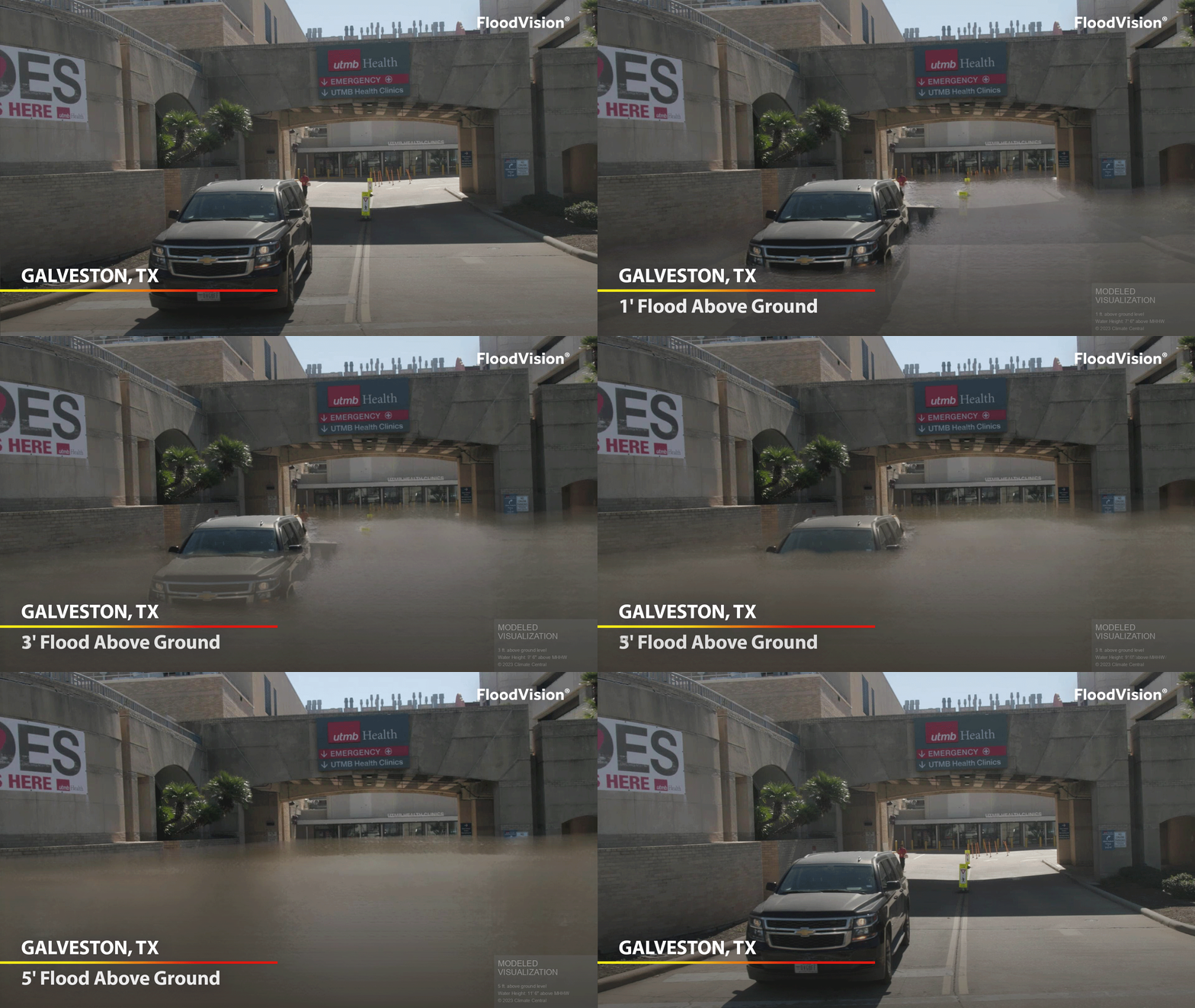
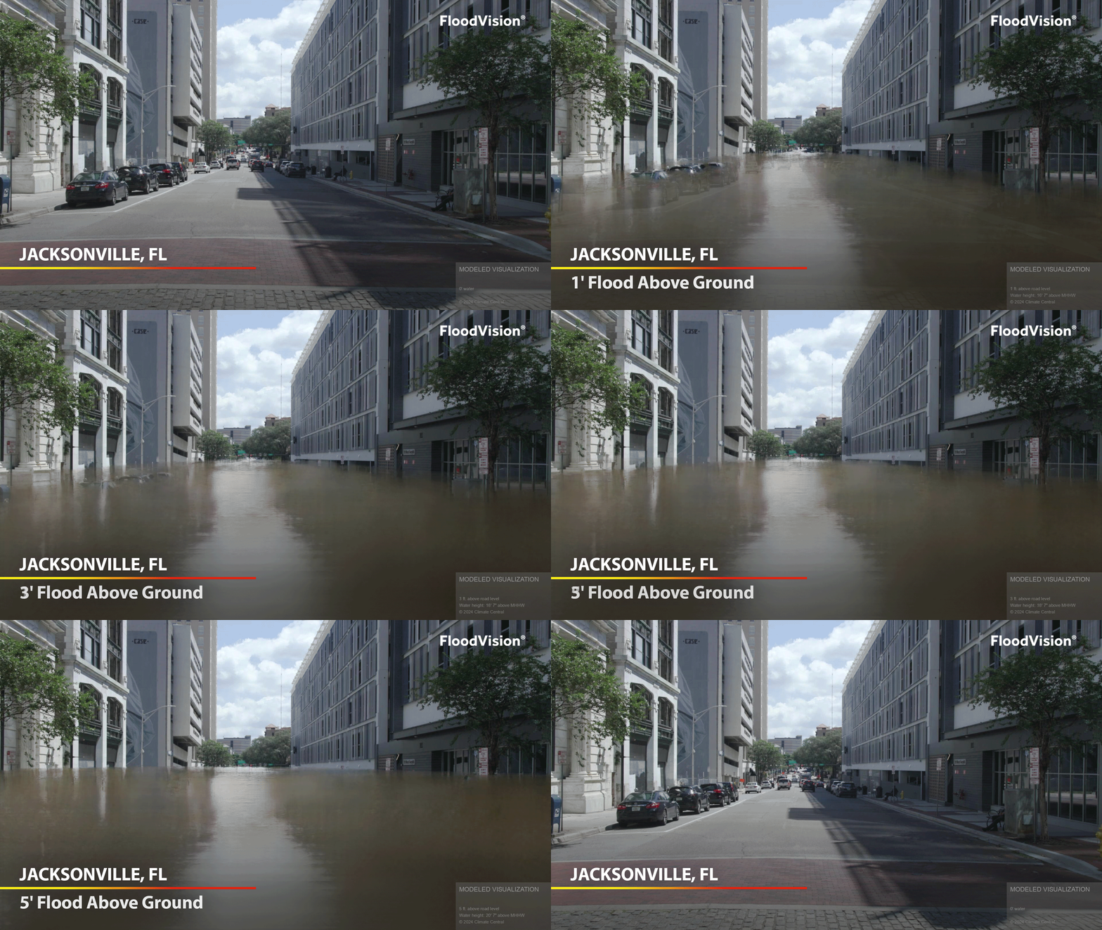
At Climate Central, we believe seeing is understanding. That’s why we developed FloodVision®, a cutting-edge technology that shows the future impacts of flooding and sea level rise with photorealistic accuracy.
FloodVision® combines big data, sea level rise projections, and advanced visualizations to bring flood risks to life. Whether you're a homeowner, government official, or real estate professional, you’ll be able to see the risk and make smarter decisions about the future.
How It Works:
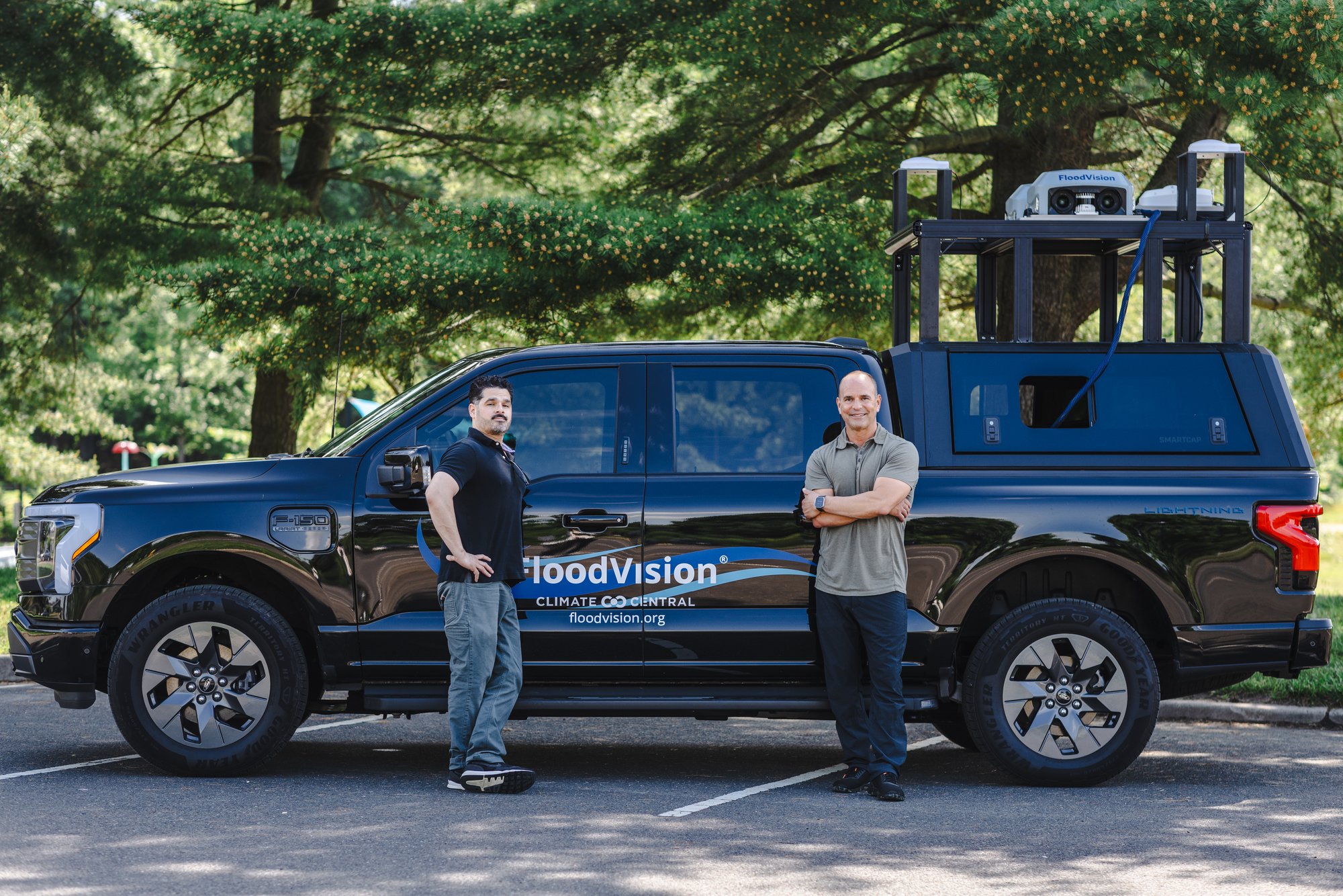
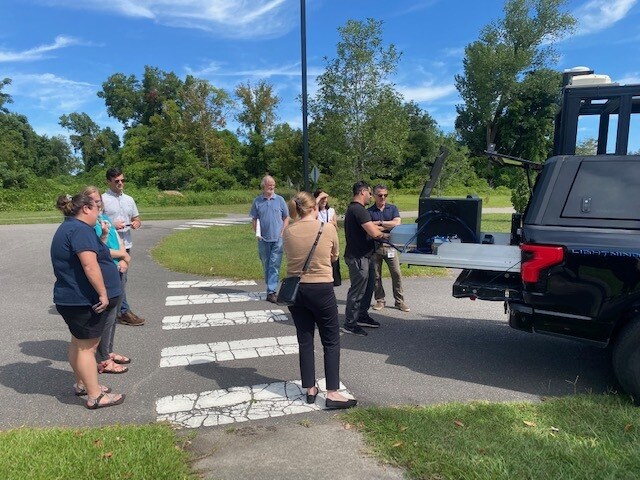
1. On-the-ground data collection
Our FloodRover vehicle scans your community, capturing real-world data with video, lidar, and elevation tools.
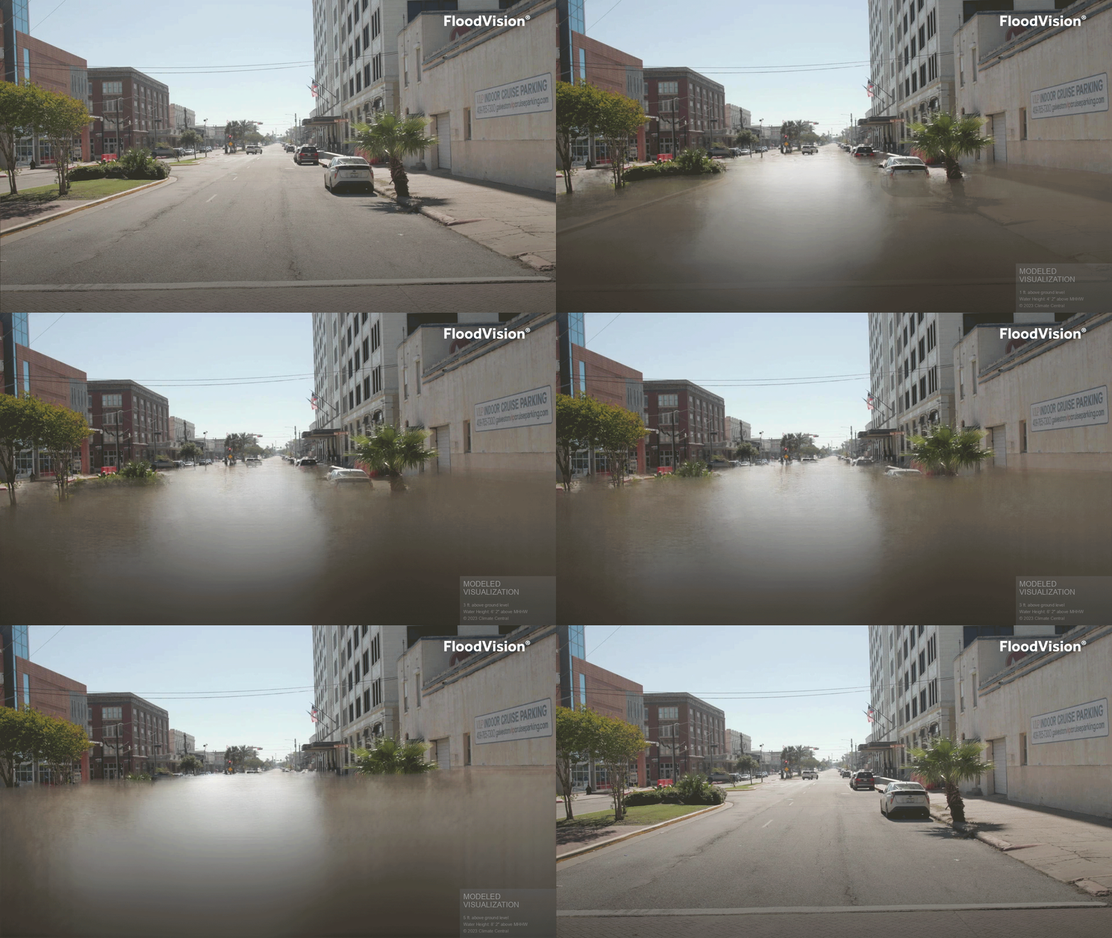
2. Science-based flood visualizations
Using AI, sea level rise projections from NOAA & IPCC, and other flood models, we create vivid, precise flood risk visuals for any given decade.
3. Empowered communities
Local officials can educate, plan, and take action—using these visuals for everything from FEMA funding applications to public awareness campaigns.
FloodVision® empowers decision-makers with the tools to communicate flood risks
and prepare their communities for the future.
We’re here to help you visualize what’s next and build resilience today.
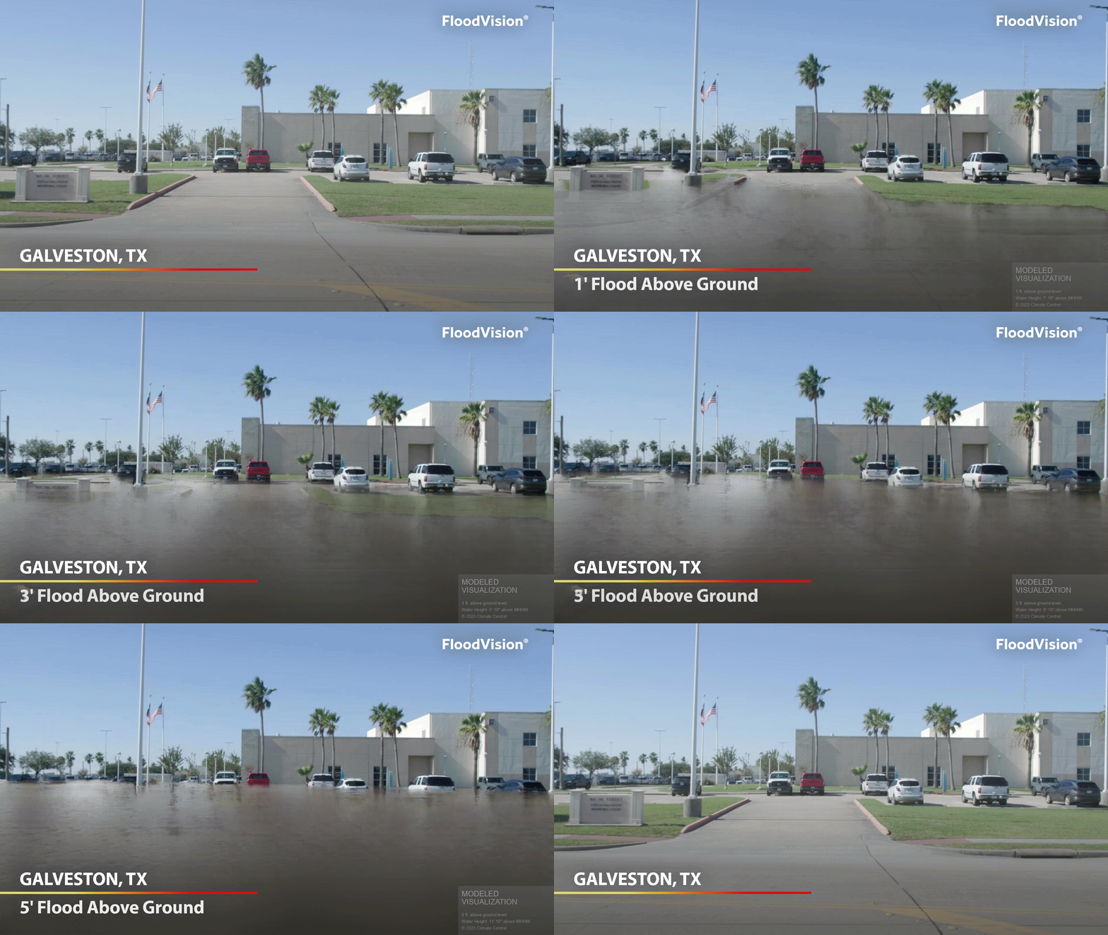
FloodVision® Can Help You:
Apply for state or federal funding (FEMA, FMA, BRIC)
Increase flood insurance uptake
Target repetitive loss sites
Improve emergency response
Drive strategic resource allocation
Foster informed public awareness
Manage disasters cost-effectively
Learn how the Northeast Florida Regional Council is using FloodVision®
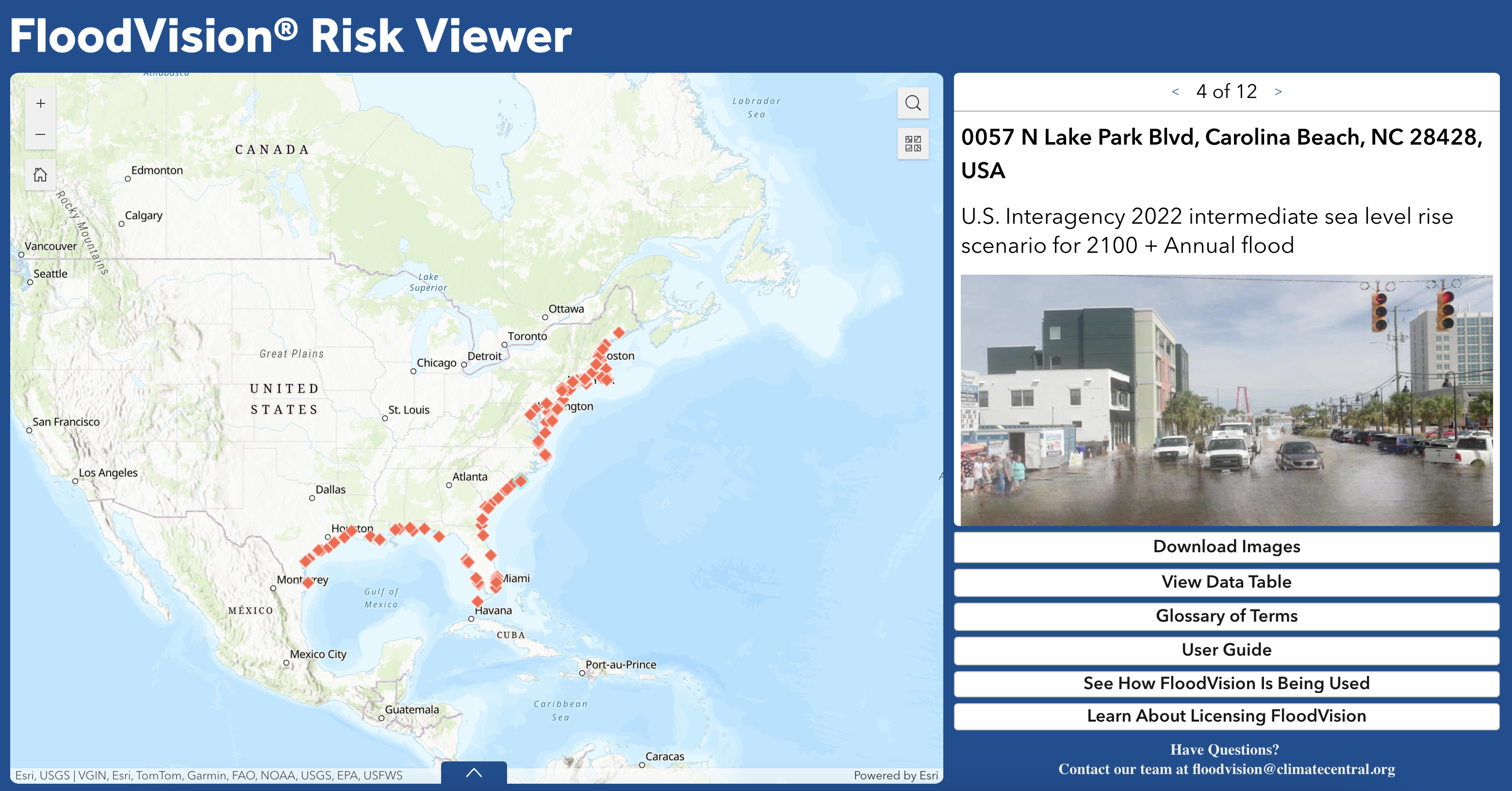
FloodVision® in Action
Explore realistic, street-level visuals of projected flooding from our Edge of America Tour — now available through the new FloodVision® RiskViewer. This public interface lets you browse and download curated visuals from dozens of communities, based on selected water levels and flood scenarios. (Use the carousel above the image to view different scenarios.) We can generate visuals for a wide range of water levels and for any location we’ve driven by. These visuals help communicate local flood risks, support resilience planning, and raise awareness before the next disaster.
.png?width=500&height=125&name=CC_FV_Logo_registered%20(1).png)
Get in Touch
Ready to safeguard your community with FloodVision®? Contact us today at floodvision@climatecentral.org.
Let's shape a more resilient future—one visualization at a time.

